Roofs and industrial buildings
Sheeting, gutters, joints and drains checked without stopping operations. Every finding with its photo and location.
Ask usTechnical drone inspections
We document roofs, construction sites, structures and facilities with high-resolution and thermal cameras, and deliver a clear report so you can decide what to address first.
High-resolution detail in every area, with each finding marked.
Every observation with its location, photo and priority.
An organized report to plan maintenance and compare over time.
Services
Each service is tailored to the asset, the goal and the site. Services can be combined in a single job.
Sheeting, gutters, joints and drains checked without stopping operations. Every finding with its photo and location.
Ask usCracks, cladding, window frames and frontages photographed in detail to plan maintenance.
Ask usLeading edge, lightning receptors, surface and tip of every blade, with each finding located and prioritized. Experience in blade inspection campaigns in Europe.
Ask usMounts, joints and equipment with a 168 mm telephoto: every detail in view, without interrupting service.
Ask usAfter hail, wind or heavy rain: what was damaged and where, with photos for insurance or repairs.
Ask usRegular progress records: the whole team sees the same thing without going to site.
Ask usThe whole site in a single image, to see the big picture, take approximate measurements and compare visits.
Ask usAn up-to-date, organized view of the land, its access and surroundings, for planning.
Ask usRoad surfaces, culverts, banks, drains and erosion areas, in one continuous pass.
Ask us1280 × 1024 radiometric thermal camera: panels, cells and connections with abnormal temperatures, located one by one across the farm.
Check availabilityA thermal camera that measures the temperature of every pixel, from −20 to 550 °C: switchboards, connections, roofs and insulation with hot spots invisible to the naked eye.
Check availabilityMedium- and high-voltage conductors, insulators and structures, with visual camera, thermal camera and up to 176× zoom on every structure.
Check availabilityLaser rangefinder up to 3,000 m: distance, height and coordinates of a point, to locate findings and reference distant objects.
Check availabilityColor night-vision camera (0.01 lux), infrared illuminator and thermal camera, for jobs that cannot wait for daylight.
Check availabilityLive video, thermal camera and zoom for searches, fires and operations, always coordinated with the authority in charge.
Check availabilityA PDF with a summary, location map and one sheet per finding with its priority.
Ask us100 MP photos and 6K video to present a project, a plant or a property.
Ask usTechnology
We work with latest-generation equipment and choose the sensor for what needs to be seen: visual detail, temperature, distance or position.
Fine detail to spot cracks, joints and corrosion, and for corporate photo and video.
Measures the temperature of every pixel: hot spots are measured, not just seen.
Get close without getting close: insulators, antennas and distant details with their position.
Jobs that cannot wait for daylight: usable images in very low light.
Reference orthomosaics and 3D models, georeferenced and comparable between visits.
More productive hours per day and safety near cables and structures.
Manufacturer specifications for each piece of equipment. Items marked “New” are being added at this stage: ask us about availability for your date. Orthomosaics and 3D models are for reference only: they do not replace a cadastral or certified topographic survey.
How we work
Tell us what you need to see, where and by when. Five details are enough to get started.
We define the scope, permits, safety and deliverables. Everything is put in writing in the proposal.
Organized on-site capture, with a pre-flight checklist and coordination with the site operator.
We review every image, mark the findings and deliver the report and files, neatly organized.
Flying well starts on the ground.
What you get
The report documents what is observed and supports the professional assessment; it does not replace it.
Case studies
Visual blade inspection of an operating wind turbine. A real, anonymized case: no client, wind farm or manufacturer details.
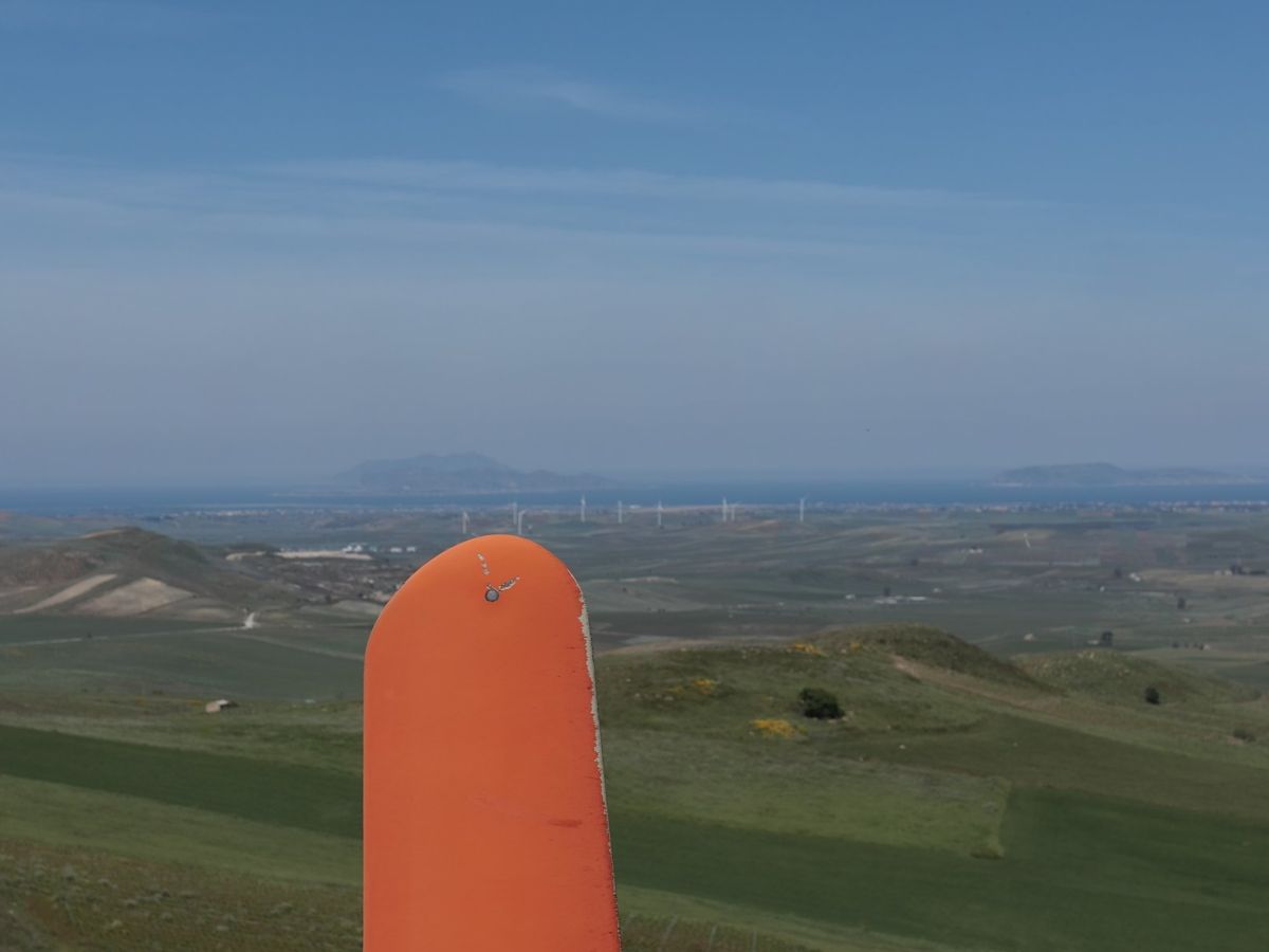 Wind turbine A-01 · 2023
No urgent findings. We recommend planning the leading edge repair and repeating the inspection in 12 months to track its progress.
See the full report (PDF, in Spanish)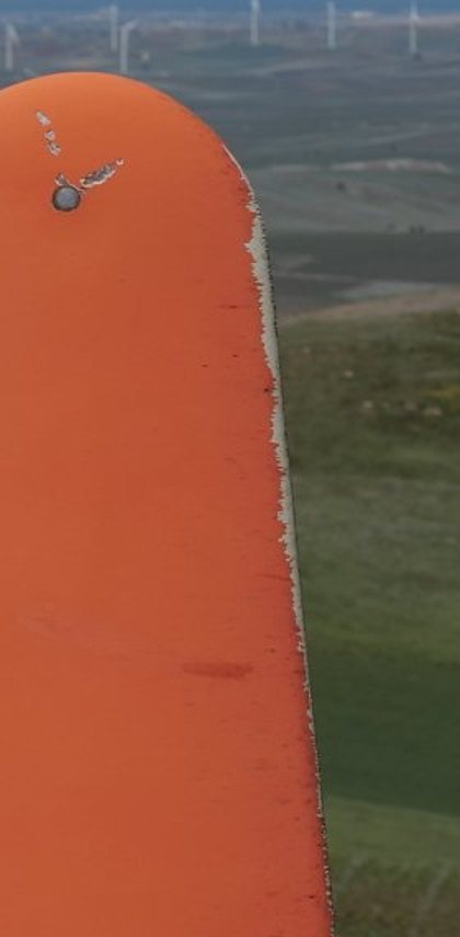
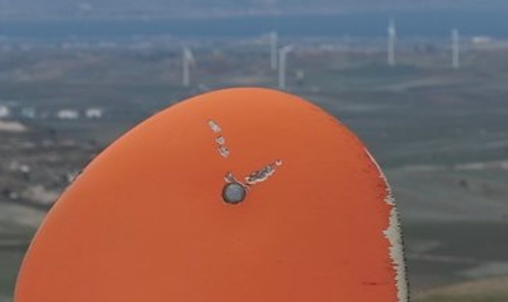
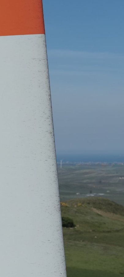
Field work carried out by our founder in 2023. Images are published at reduced size, and the final severity of each finding is confirmed by close-up inspection.
Who we work for
Public buildings, schools, green spaces and public works: information to set priorities.
Buildings, roofs and facilities inspected while operations continue.
Construction progress, visit by visit, so the whole team sees the same thing.
Tanks, structures and networks spread across many locations, documented methodically.
Wind and solar farms, switchboards and lines, with visual and thermal cameras.
About us
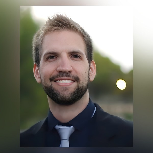
Founder and Director
LATITUD 40°S grew out of years of work on wind farms in Argentina and Europe: inspecting blades by drone, controlling quality on large construction projects and maintaining operating turbines. That is where our way of working comes from: method, a record of every step and a report that is easy to understand.
Image-based blade inspection and lightning protection system continuity campaigns on wind turbines in Italy. Ultrasonic inspection of storage tanks in the oil and gas industry.
Quality control in the construction of wind farms in Argentina: foundations, component receiving and inspection, assembly audits, critical operations and final inspection with the client.
Preventive and corrective wind turbine maintenance in Europe, inspection of blade repairs and lightning protection system replacements.
Inspection of drinking-water network works, technical drawing of utility interferences and engineering software support for industry.
Every job follows a written procedure, with a checklist and a record of what was done.
Every photo and every finding can be traced back to the place, date and flight in which it was captured.
Wind-industry safety training and a simple rule: if conditions are not right, we do not fly.
We report what is observed, with its priority, and leave the technical decision to the people responsible for it.
FAQ
It depends on the asset, the goal and the location, so every project is quoted separately: tell us about your case and we will send a proposal with the scope, deliverables, timeline and price.
In most cases, no. The work is coordinated with the site operator to avoid any interference.
Safety comes first. If conditions are not right, we reschedule and let you know in advance.
It depends on the scope. The timeline is set out in the proposal before we start.
We treat them as confidential information: they are used only for your job, never published without your authorization, and deleted within the agreed period.
No. It documents what is observed, with its location and priority, and supports the professional assessment. The technical decision is yours or the responsible professional’s.
Yes. We cover all of Argentina, depending on the project.
Services marked “New” are being added at this stage. Message us and we will confirm availability for your date.
Let’s get started
An overview photo or a plan also helps.
Scan the code or tap the button
+54 9 2920 40-5939Monday to Friday, 9 am to 6 pm (Argentina) · We reply as soon as possible